Directions:
Take I-77 to exit 132 (Fairplain – Ripley).
Turn east at the end of the ramp.
Take first right (Cedar Lakes Rd.).
Follow Cedar Lakes Rd. about 1 mile to the top
of the hill.
Take a sharp right on to Jackson County Rd. 36.
Drive
12.7 miles to Billies Run Rd. on left.
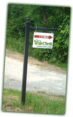
Travel 3/4 of a mile on gravel road to camp on
the right.
Approximate
Travel Times:
Charleston, WV - 50 minutes
Marietta,
OH
- 1 hour, 15 minutes
Ashland, KY - 2 hours
Pittsburgh, PA - 3 hours, 30 minutes
Winston-Salem, NC - 4 hours
Indianapolis, IN - 5 hours 30 minutes
PLEASE NOTE: Due
to the remote location of the camp, navigating
via, Map Software, Mapping Websites, and GPS
devices does not work. They often lead people
off track. Many people ignore this note and get
lost. Following the above directions is your
best option. |
 |